Experience the pristine, vast and magnificent landscapes and attractions within and surrounding Newman. Disconnect from the hustle and bustle, and explore the region's rich history, culture, natural wonders and wildlife. Please come in and visit us at the Newman Visitors Centre for maps and information on the attractions featured below.
Note: You will need a BHP access permit to go to Kalgans Pool, Three Pools, Eagle Rock, Punda Rock Art, Punda Pool and Hickman Crater, you can get these at the visitors centre.
Some safety precautions before you head out on your day of exploration:
Note: You will need a BHP access permit to go to Kalgans Pool, Three Pools, Eagle Rock, Punda Rock Art, Punda Pool and Hickman Crater, you can get these at the visitors centre.
Some safety precautions before you head out on your day of exploration:
- Make sure you have enough fuel to get you there and back.
- Always over compensate with water.
- Don’t forget to tell someone where you are going and what time you are approximately due to come back.
- Make sure you have a puncture repair kit as it is guaranteed you will get a puncture if you don’t have one.
- A 2 way, sat phone and eperb… ok up here if you are local…chances are you aren’t going to have a sat phone or an eperb but a 2 way should be on your basic list…even if it is a hand held one.
- Download national park alerts, passes, brochures and maps here: https://parks.dpaw.wa.gov.au/
|
Photo courtesy of Kevin Mitchell (Chasing Stars Photography)
|
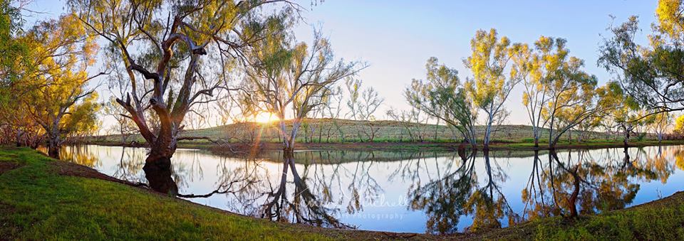
GINGIANNA POOL
Firstly I would say the easiest place to get to would be Gingianna Pool. This is a well-known local spot close to Newman popular for BBQs and overnight camping. There is usually a pool of variable size (depending on the recent rains) and a surround of large paperbark trees. As with all river beds, campers should be careful during wet weather as this area often floods. The good thing about the Gingianna pool is it is accessible to 2wds as well as 4wd. To get to there you go over the Gingianna bridge and just to the left you will see an old bitumen road. |
|
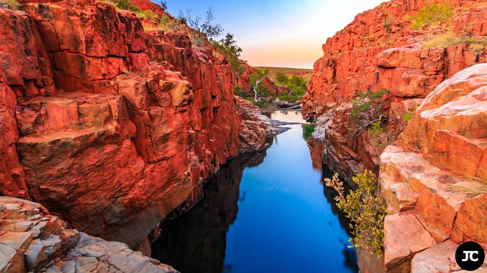
KALGANS POOL
Due to its traditional ease of access, this is one of the most popular waterholes on the Newman Waterhole Circuit. A large pool at the base of a cliff is good for swimming and rarely dries up completely. The main pool and other shallower pools along the creek are located in a scenic gorge with high banded iron formation walls. There is plenty of room to camp near the pool under shady paperbark trees. The track to Kalgan pool does involve river crossing and going down the middle of the river, so please remember to put your vehicle into 4WD when you are going through this area. Due to people not going into 4WD it has made the river bed quite bumpy. |
|
Photo courtesy of James Curry (Country Captures Photography)
|
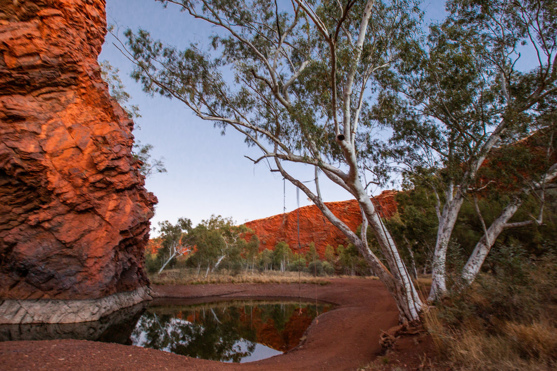
THREE POOLS
On the way to Eagle rock falls is Three pools. At this spot are some permanent deep pools in a steep sided gorge in similar volcanic rock to Eagle Rock Falls. This is a good spot for camping if you want a place to yourself… but remember there is no turning circle here so it is not recommended to be towing anything. |
|
Photo courtesy of James Curry (Country Captures Photography)
|
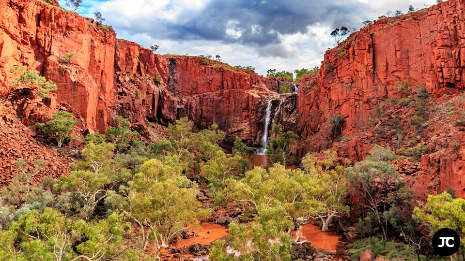
EAGLE ROCK FALLS
This one along with Kalgans pool is one of the more popular destinations on the Newman Waterhole Circuit. Spectacular views of the cliffs and Coondiner Gorge make this spot well worth a visit, particularly just after heavy rain when the falls thunder off the cliff edge. The main track leads to Eagle Rock Pool, a good camping and swimming spot, however a detour across the creek to the falls is the main attraction. The track to the falls may be impassable if the creek is flowing and it is also rough. The falls are only a short 2km walk down the creek if you leave your car at the pool. At the fall the southern end of Coondiner Gorge is surrounded by red cliffs of volcanic rock popular with rock wallabies and local rock climbers. In the wet season the creek plummets down two sets of falls, 12 and 60 metres high. The falls only flow after heavy rain, however permanent pools are found at the base of both falls most of the year. Perch somehow have managed to reach the upper pool near the base of the upper set of falls. |
|
Photo courtesy of Greg King (GJ King Photography)
|
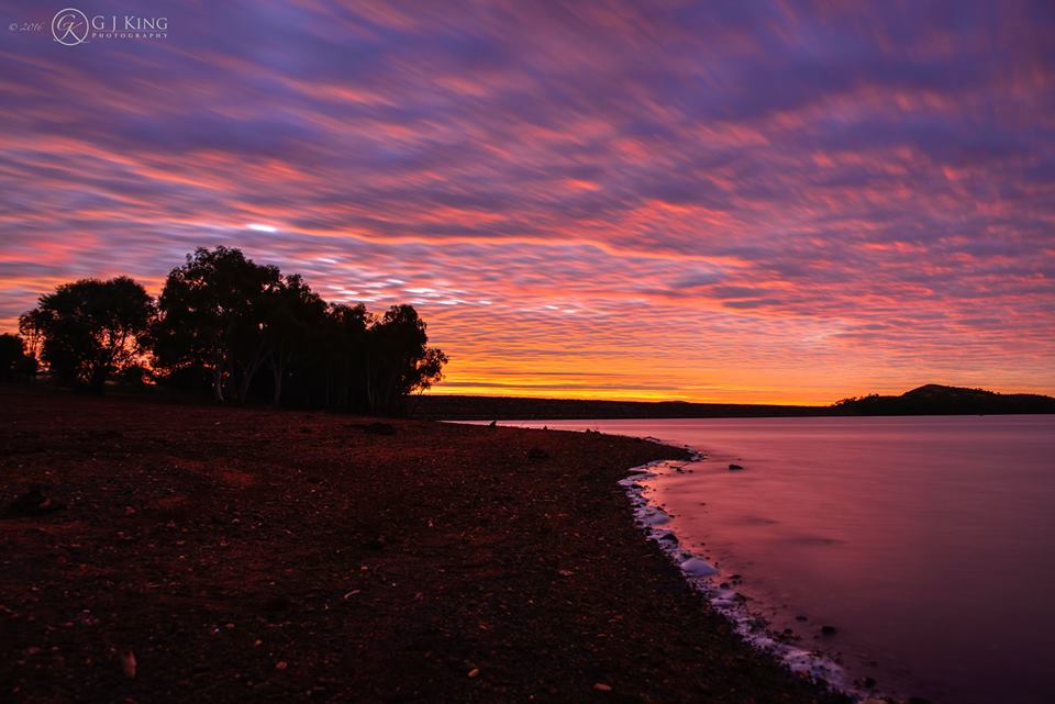
OPHTHALMIA DAM
The dam is a good picnic spot easily accessible from Newman being only approximately 20 minutes out of town. The dam was originally constructed to recharge the underlying aquifer used as a water source for Newman and is filled by the Fortescue River and Warrawanda Creek during the wet season. In the years gone by when full the dam was popular for catamaraning and canoeing. There is a lot of bird life to be observed at the dam including black swans and pelicans. Spangled perch and the Fortescue grunter another type of perch can be seen at the dam. The dam can dry up if rains have been infrequent. Do not drive just below the dam walls, this area is saturated with water and is a guaranteed bogging. Swimming is not allowed. |
|
Photo courtesy of James Curry (Country Captures Photography)
|
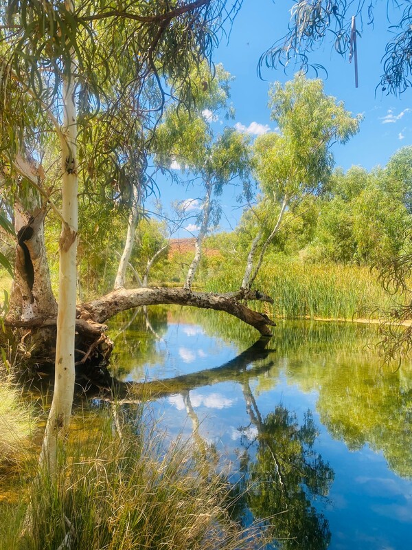
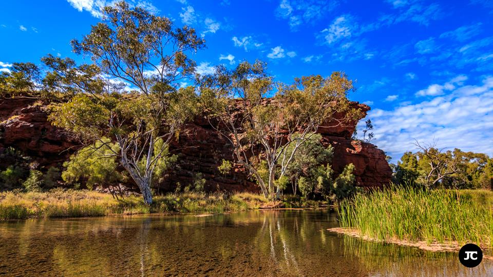
WEELI WOLLI SPRINGS
Situated on the Weeli Wolli Creek is a series of permanent pools and small waterfalls forming a location known locally as Weeli Wolli. The clear water flows for almost five kilometres providing a haven for fish and bird life. Majestic paperbarks and river gums growing to 30 metres high line the watercourse. Large date palms, a remnant of Cameleer days are scattered amongst the paperbarks. Weeli Wolli is situated to the North of Newman along the Great Northern Highway. |
|
Photo courtesy of Darren Fields (Field Images)
|
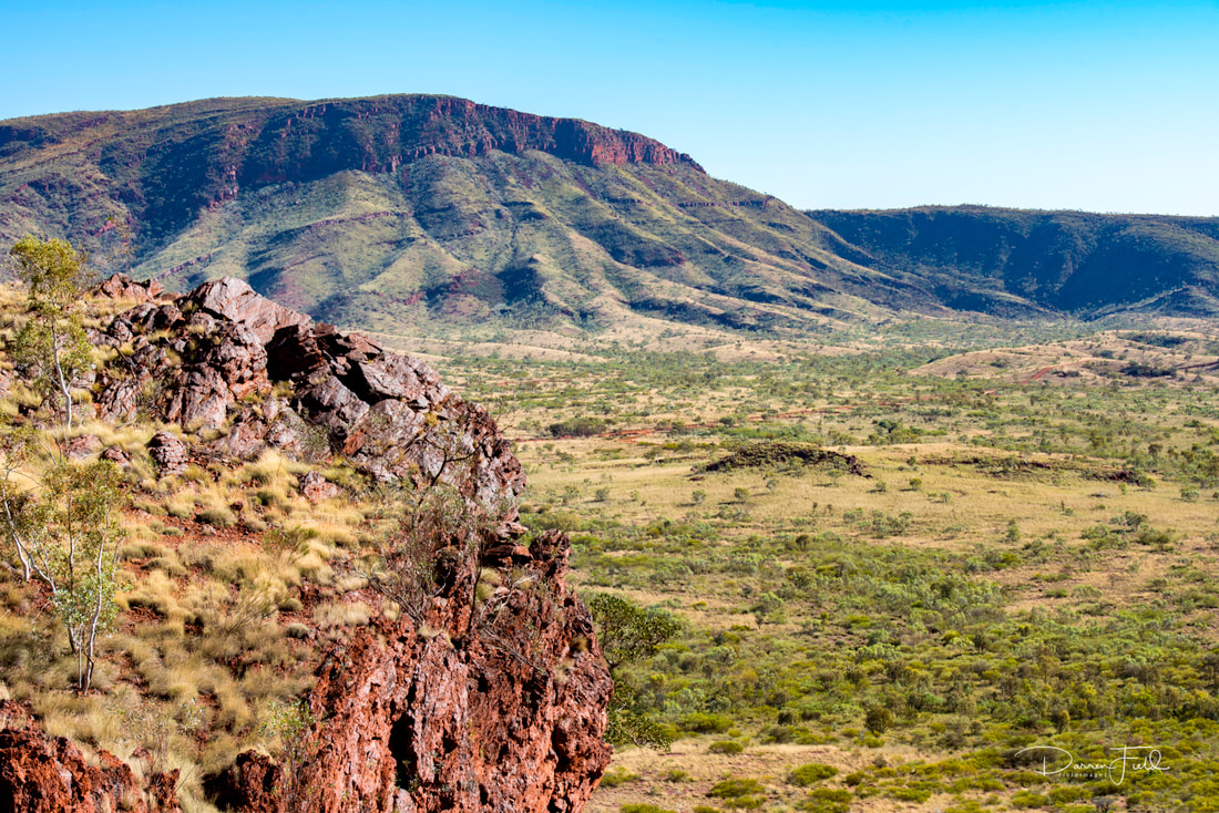
MT NEWMAN AND MT NEWMAN GORGES
The highest hill in the eastern Ophthalmia ranges, Mt Newman offers spectacular views of the surrounding range and plains. A 4WD track leads to a flat area where you can park your car and walk the remaining distance to the top of the hill. The tracks to the gorges around Mt Newman are easy 4WD tracks with the occasional washout to deal with. To the east and west of Mt Newman are two large gorges cut through the southern flank of the range. The gorge east of Mt Newman features large plains of steeply dipping rock on its southwest side that are popular with local rock climbers (Kuba’s Crag). This gorge is just west of the main highway cutting at Cathedral Gorge and can be reached along a track leading west just before the road enters the cutting. A large gorge west of Mt Newman is an excellent bushwalk with numerous side gorges to explore and spectacular folded rock cliffs. Native fish can be seen swimming in a pool at the entrance to the gorge. The track up Mt Newman is steep and rocky in places and requires 4WD low range. |
|
Photo courtesy of Darren Fields (Field Images).
|
HICKMAN CRATER
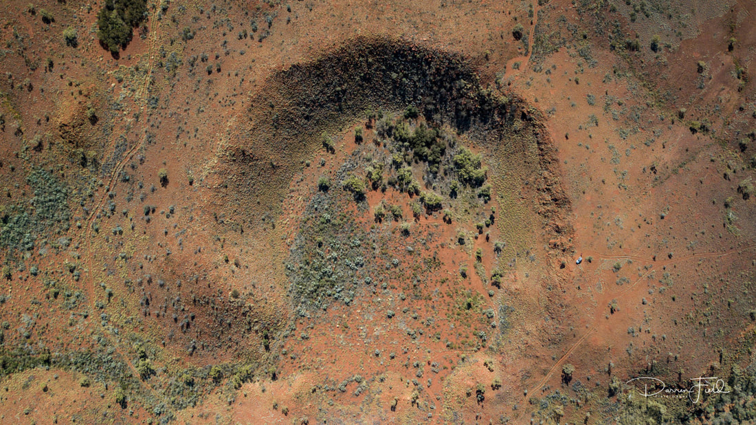
While going to Punda Pool and rock art why not go to Hickman Crater. Hickman Crater was only discovered in July 2007 by Arthur Hickman when he was using Google Earth. Even though it is only 36km as the crow flies it is actually going to take you about 2hrs to get there. At the time of discovery there were no tracks near the crater but due to interest there is now public access via the Marble Bar Road. The crater is almost circular with a rim diameter of 250-270metres. The north, east and southern rims are uplifted 15-20 metres above the surround plateau surface and 20-30m above the flat crater floor. There is a letterbox at the edge with a visitors book that you can sign to say you have visited the crater and I also think it is a geocache spot as well. You can go around to the left and there is a track that will take you down into the crater. In 2012 Geological Survey Western Australia (GSWA) ran a drilling project in collaboration with Atlas Iron Ltd, the findings from which were presented at a Geoscience Research workshop in late 2017. These findings were summarised on the Department of Mines, Industry Regulation and Safety (DMIRS) website on Nov 7th, 2017, and include the following quote: "The 65 metre deep drill hole found that the centre of the crater is filled in by about 48 metres of sediment that was washed in after the crater formed. Below this is a nearly seven metre thick layer of finely smashed up and melted rock that formed the original crater floor, underlain by fractured bedrock. Chemical analysis of the smashed up and melted rock shows, besides comprising fragments of bedrock, it also contains traces of material from an iron meteorite. The internal structure of the crater is similar to that found at other small meteorite impact craters drilled overseas and confirms that the crater was produced by a meteorite impact." |

